Wednesday, January 6th, 2016 — 1:28 PM
As high pressure that’s been in control of our weather over the last several days begins to shift east of us, milder air will be allowed to filter back into our area once again, although not nearly to the levels we experienced a couple of weeks ago. Instead of temperatures a good 20 to 30 degrees above average, we’re looking at a more modest 5 to 10 degree departure.
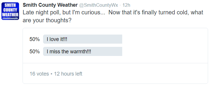
When asked on Twitter late last night, your reactions towards this recent polar plunge were mixed…
Compare that to a couple of weeks ago when we were really warm…
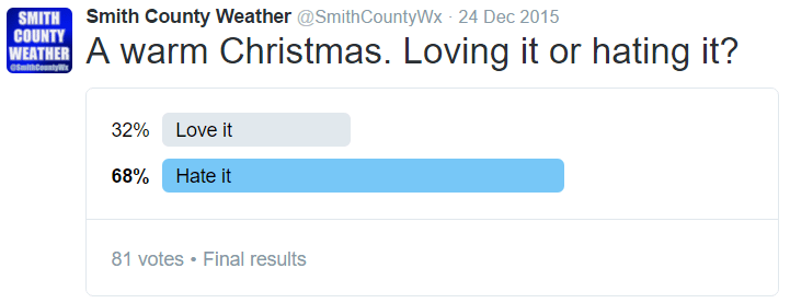
Now that the shoe is on the other foot, it’s not quite as comfortable, is it? Don’t worry, we were right there with you wanting cold weather a couple of weeks ago, too! The good news: we’re getting a brief break from the cold for a few days, although it could end in a little bit of the white stuff. More on that below.
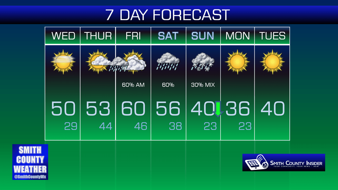
Rest of this afternoon — Mostly sunny skies. High: 50°. Winds SE at 5 mph.
Clouds will be on the increase as we head through the overnight hours and into the day tomorrow ahead of our next rainmaker (and the first of 2016!).
Thursday — Increasing clouds. Wake up: 29°, Afternoon high: 53°. Winds SE at 5 mph.
Overnight Thursday and into the early morning hours of Friday, we’re expecting an area of rain to push through from the west. Rainfall totals look to be under a half inch, with the rain out of here before noon on Friday.
Another round of showers is expected Saturday afternoon through perhaps the overnight hours. Temperatures will drop as the rain moves through, but we’ll remain several degrees above freezing. Despitre temperatures continuing to fall during the day on Sunday, it looks most precipitable moisture will have moved out of our area. We’ll keep an eye on things, but right now, we see nothing to make a huge fuss over. Sorry, kids.

Extended: