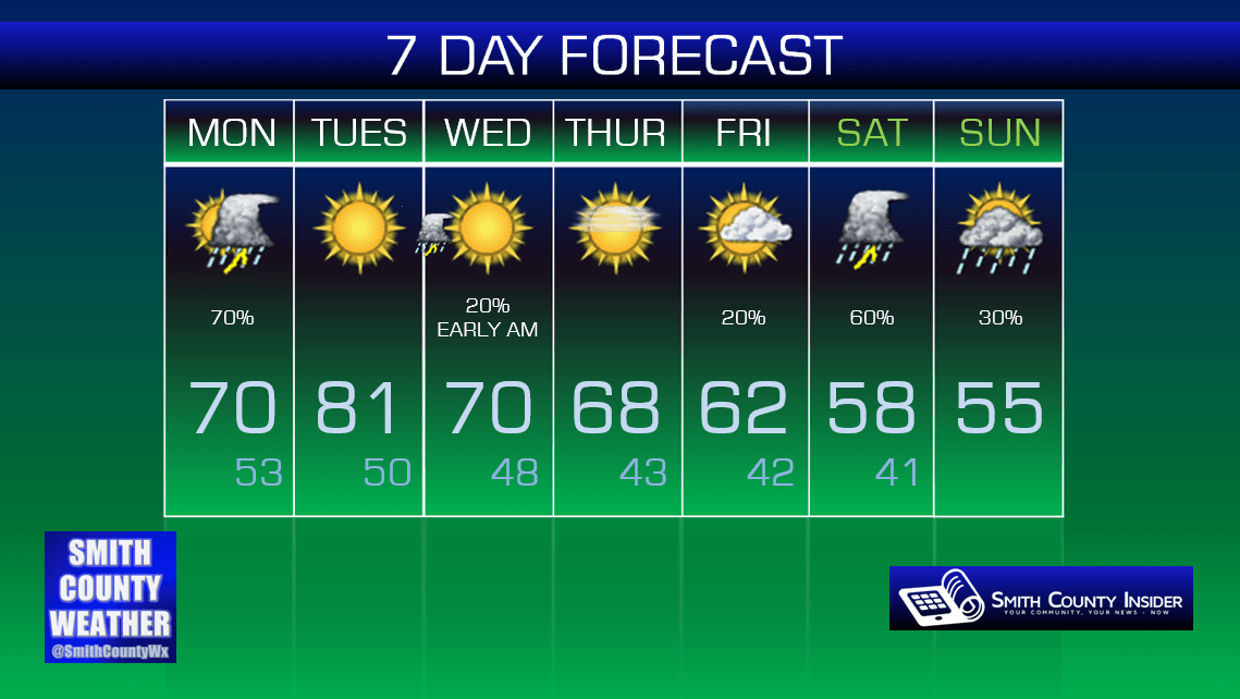
Monday, March 14, 2016 — 2 PM
We had some pretty hefty thunderstorms move through shortly after noon, prompting a rogue Severe Thunderstorm Warning for parts of southeastern Smith County.
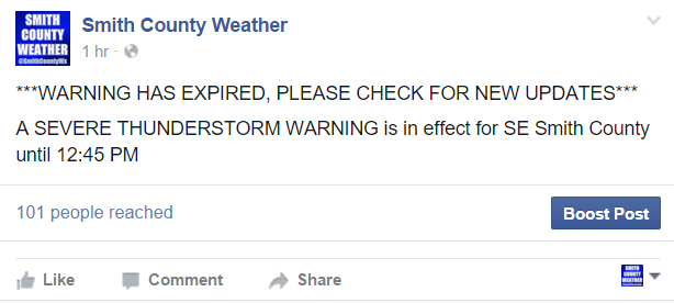

Severe weather was not anticipated today, so the warning came as a bit of a surprise, although it wasn’t totally unprecedented. SPC had outlined areas east of us with a Marginal Risk for severe weather today. We were just outside of that, but this particular cell decided to do its own thing. Areas near the Putnum County line may have briefly seen hail up to quarter size in diameter and damaging winds gusting to 58 mph or higher.
That cluster of storms has now moved well east of here. Some of us have seen a couple of showers since that cluster moved through, but we should begin to completely dry out as we head into the late afternoon hours. Despite some mud, any ball games or practices this evening should be good to go.
HRRR (below) shows the showers coming to an end.


HRRR loop through 3 AM Tuesday:

Temperatures this evening will be in the 60s, falling into the low 50s by tomorrow morning under a mostly cloudy sky.
Tuesday — Sunny. Warmest day of 2016 so far! Wake up: 53°, High: 81°. Winds SSW at 5 to 10 mph.
If you like warm and sunny weather, then tomorrow will be perfect by those standards!

We could see a stray shower or thunderstorm late Tuesday night/early Wednesday morning, but it’s doubtful. SPC once had us in a Marginal Risk for severe weather, but they’ve since pushed that risk area well to our north.
Temperatures will begin to cool down later this week and especially by this weekend.
Extended: