Tuesday, January 26th, 2016 — 2:52 PM
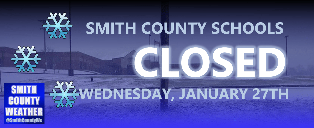
UPDATE: Smith County Schools will be CLOSED again tomorrow (Wednesday, January 27th) due to continued treacherous road conditions in some areas throughout the county
This Afternoon — Cloudy. Temperatures holding steady in the lower 40s. Winds NW at 5 to 10 mph.
A cold front this morning sent temperatures tumbling from around 50° at 6 AM down into the lower 40s by noon. The rain showers associated with the front have moved on to our east, but we have been dealt cloudy skies for the remainder of the day with temperatures hovering about where they are at now.

Amazingly, despite temperatures having been well above freezing for over 24 hours, there still remains some slushy/icy spots on a few of our back roads, according to reports submitted to the Smith County Weather Facebook page. Whatever remains heading into tonight will re-freeze as temperatures fall into the mid 20s, so watch out for that.
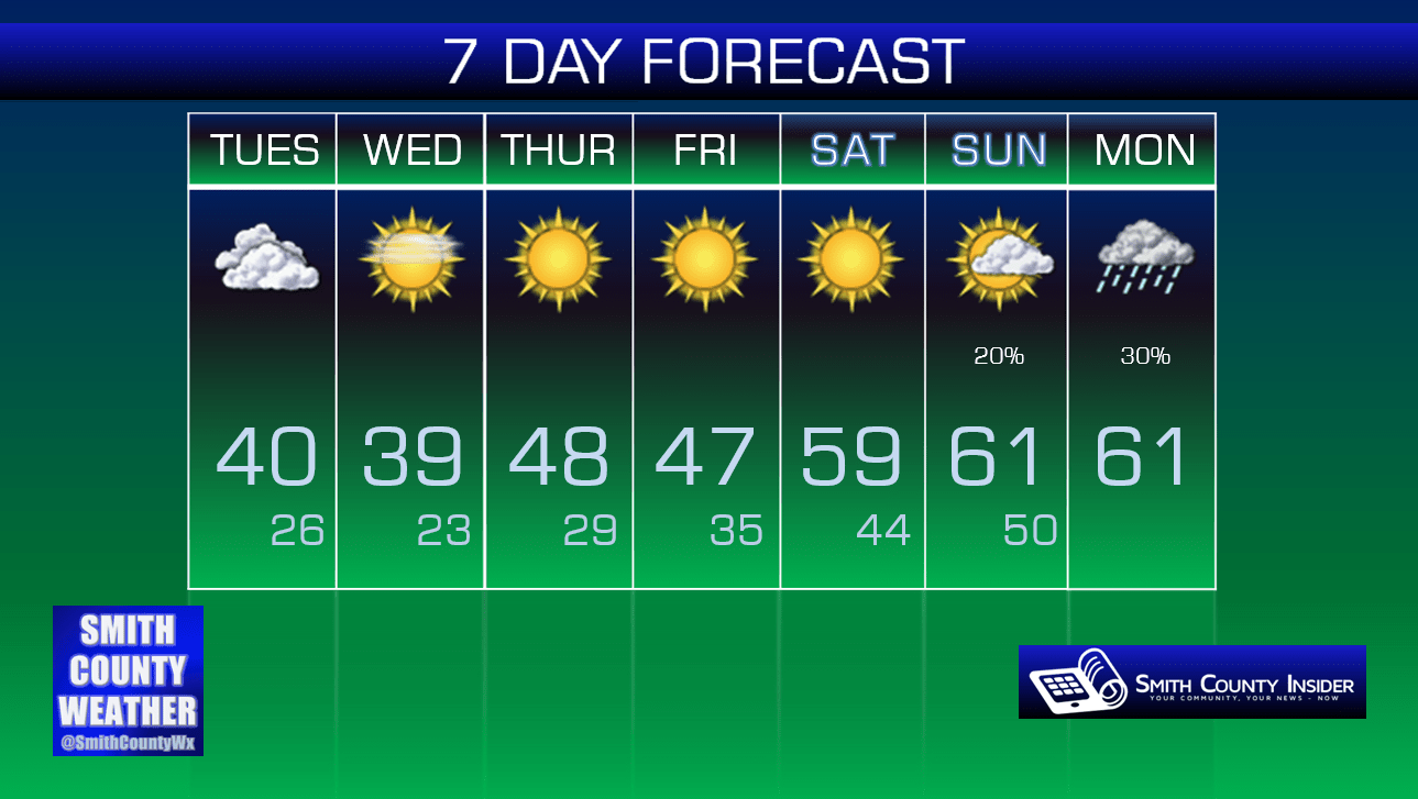
Wednesday — Return of the sun…but still cold. Wake up: 26°, Afternoon high: 39°. Winds N at 5 to 10 mph.
High pressure will take control of our weather for the next several days, meaning a string of beautiful days with temperatures steadily warming up — the exception being tomorrow, which will see temperatures only making it into the upper 30s to near 40° for our high.
By this weekend, temperatures will be approaching the 60° mark — a far cry from the 6 to 10 inches of snow we experienced the weekend before! We could see some rain towards the end of the weekend, but we’ll worry about that later.

Extended: